Lot · Europe Maps
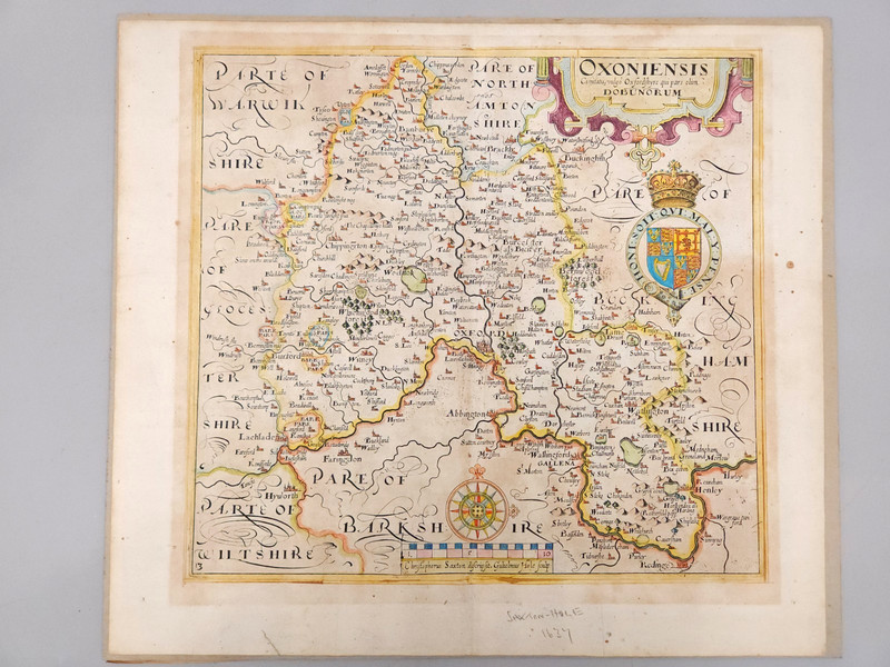
1600's William Camden Brittania Historic Oxfordshire County Map 1637 Latin Text
 Archived listing photo
Auction ended
Final result not shown
Closed
Fri · Jul 17, 2026
Auction window
See it on eBay
Past Europe Maps auctions
This auction has ended. The link opens the listing on eBay, where the seller may relist or offer similar items.
Ships from
ZIP 982**
bellinghamcoinshop
5,117 ratings · 99.80% positive
Description
From the sellerIncludes the County of Oxfordshire and parts of Warwickshire, Gloucestershire, Wiltshire, Berkshire, Buckinghamshire and Nothamptonshire. The map is based off of a survey by Christopher Saxon (Christophorus Saxton), it was engraved via copper etching by William Hole.
Description is reproduced verbatim from the eBay listing. NightBids does not edit seller copy — refer to the live listing for authoritative details, shipping rates and return policy.